

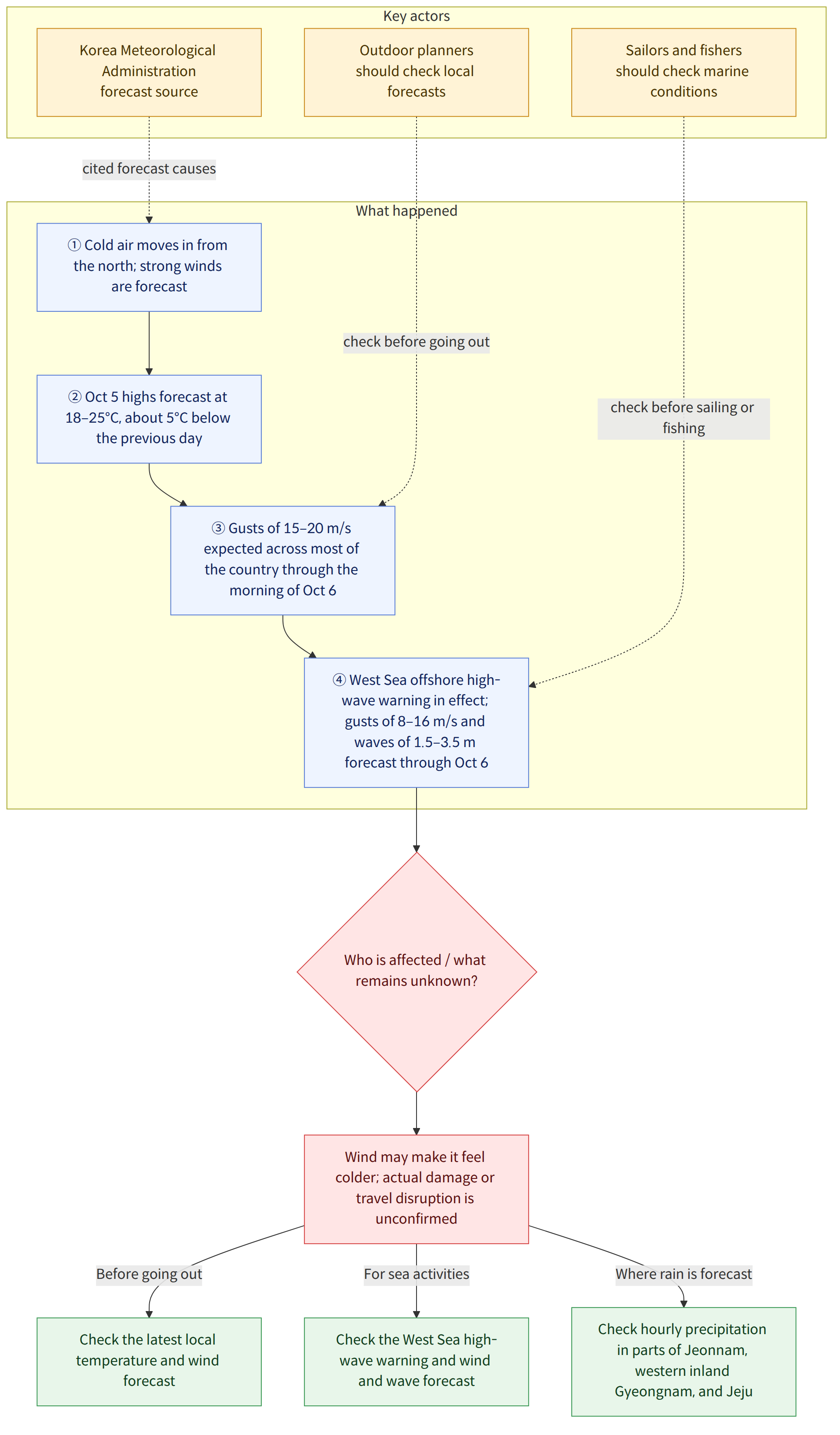
Monday, October 5, 2026, was forecast to be chilly as cold air moved in from the north and strong winds blew. Daytime temperatures were expected to range from 18–25°C, about 5°C lower than the previous day, and the wind could make it feel colder than the actual temperature. Strong winds were expected across most of the country until the morning of the 6th, while high waves were forecast in the offshore waters of the West Sea, where a high wave warning was in effect, through the 6th.
Background and context
The Korea Meteorological Administration (기상청) cited cold air moving in from the north and strong winds as the reasons the perceived temperature would fall. Daytime temperatures were forecast to be around or slightly above the seasonal average, then around or slightly below it from the afternoon. “Perceived temperature” refers to how cold or hot people actually feel in their surroundings. In this forecast, both the temperature and the wind should be taken into account.
Regional highs were forecast to be 20°C in Seoul and Incheon, 19°C in Chuncheon, 23°C in Gangneung, 21°C in Daejeon and Cheongju, and 24°C in Busan. Rain was forecast in parts of Jeonnam Province and the western inland areas of Gyeongnam Province until 9 a.m., and in parts of Jeju Island until noon. Expected precipitation in the Honam region, Yeongnam region and Jeju was less than 5 mm in each area. Skies across the country were expected to be mostly cloudy, gradually clearing from the evening.
What this news means
When choosing what to wear or making plans to go out, it is important to consider not only the temperature but also that strong winds could make it feel colder. Gusts of around 15–20 m/s were expected across most of the country, so anyone planning to spend time outdoors or travel should check the local forecast again before setting out.
At sea, both the wind and the waves are factors. Gusts of 8–16 m/s and waves of 1.5–3.5 m were expected in the offshore waters of the West Sea. Anyone planning to sail or fish should check weather warnings and local conditions. For example, anyone planning to travel by boat into the offshore waters of the West Sea should check the forecast wind and waves before deciding whether to depart.
Strong winds and high waves were forecast conditions. This report alone cannot confirm whether any damage or disruption to road or sea travel actually occurred.
Confirmed facts and what is not yet known
Confirmed facts
- Daytime temperatures on October 5 were forecast to range from 18–25°C and to be about 5°C lower than the previous day as cold air moved in from the north.
- Strong winds with gusts of around 15–20 m/s were expected in parts of most of the country until the morning of the 6th.
- In the offshore waters of the West Sea, where a high wave warning was in effect, winds with gusts of 8–16 m/s and waves of 1.5–3.5 m were forecast through the 6th.
- Rain was forecast in parts of Jeonnam Province and the western inland areas of Gyeongnam Province until 9 a.m., and in parts of Jeju Island until noon. Expected precipitation in the Honam region, Yeongnam region and Jeju was less than 5 mm in each area.
What is not yet known
- How closely did the forecast temperatures and precipitation match the actual observations?
- Did the strong winds and high waves cause any actual damage or disruption to road or sea travel?
What readers should check
- Before going out, check the latest temperature and wind forecast for your area, and consider that strong winds could make it feel colder than the daytime temperature suggests.
- If you are planning maritime activities, sailing or fishing, check the high wave warning and the wind and wave forecast for the offshore waters of the West Sea.
- In Jeonnam Province, the western inland areas of Gyeongnam Province and Jeju Island, where rain was forecast, check the hourly precipitation forecast for your area.